
Lost Worlds
Atlantis, Doggerland, Sundaland, and the drowned coastlines that once carried whole cultures between continents. This wing traces what the rising sea actually took, and how much of the old flood-and-lost-land memory turns out to be geology, not myth.
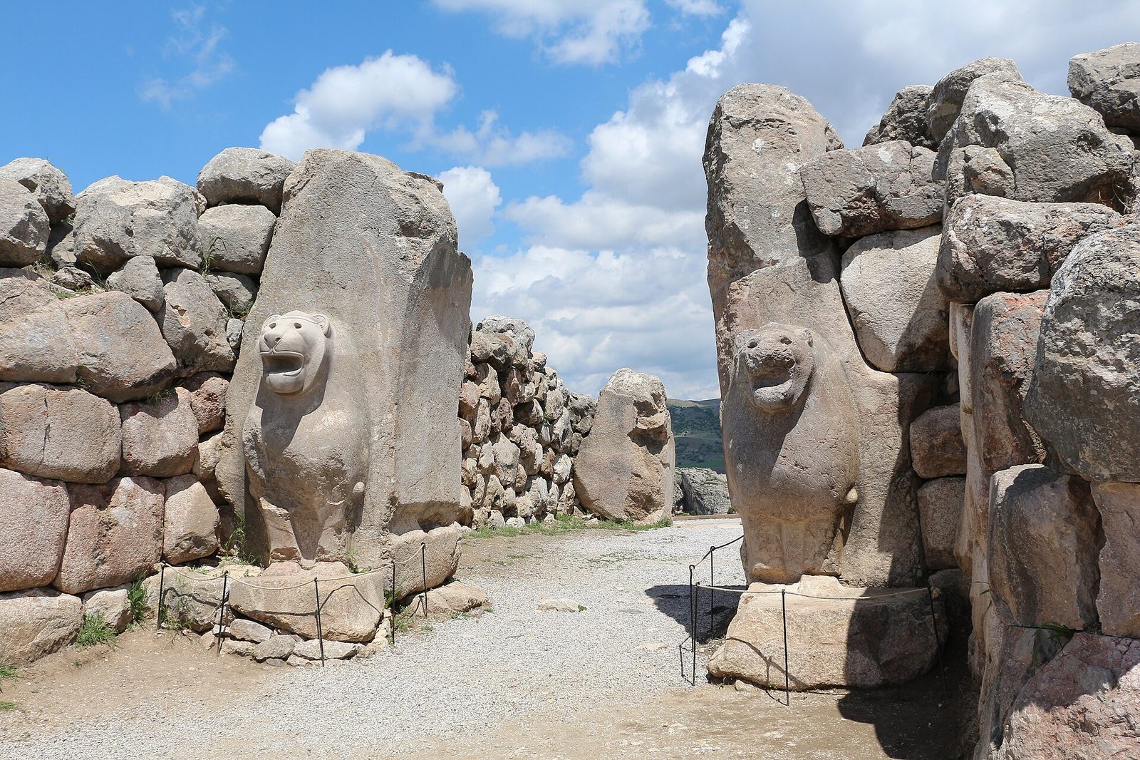
The Hittites: What Survives, And What Only Nearly Does
A superpower nobody remembered, and a peace treaty that is mostly gone.
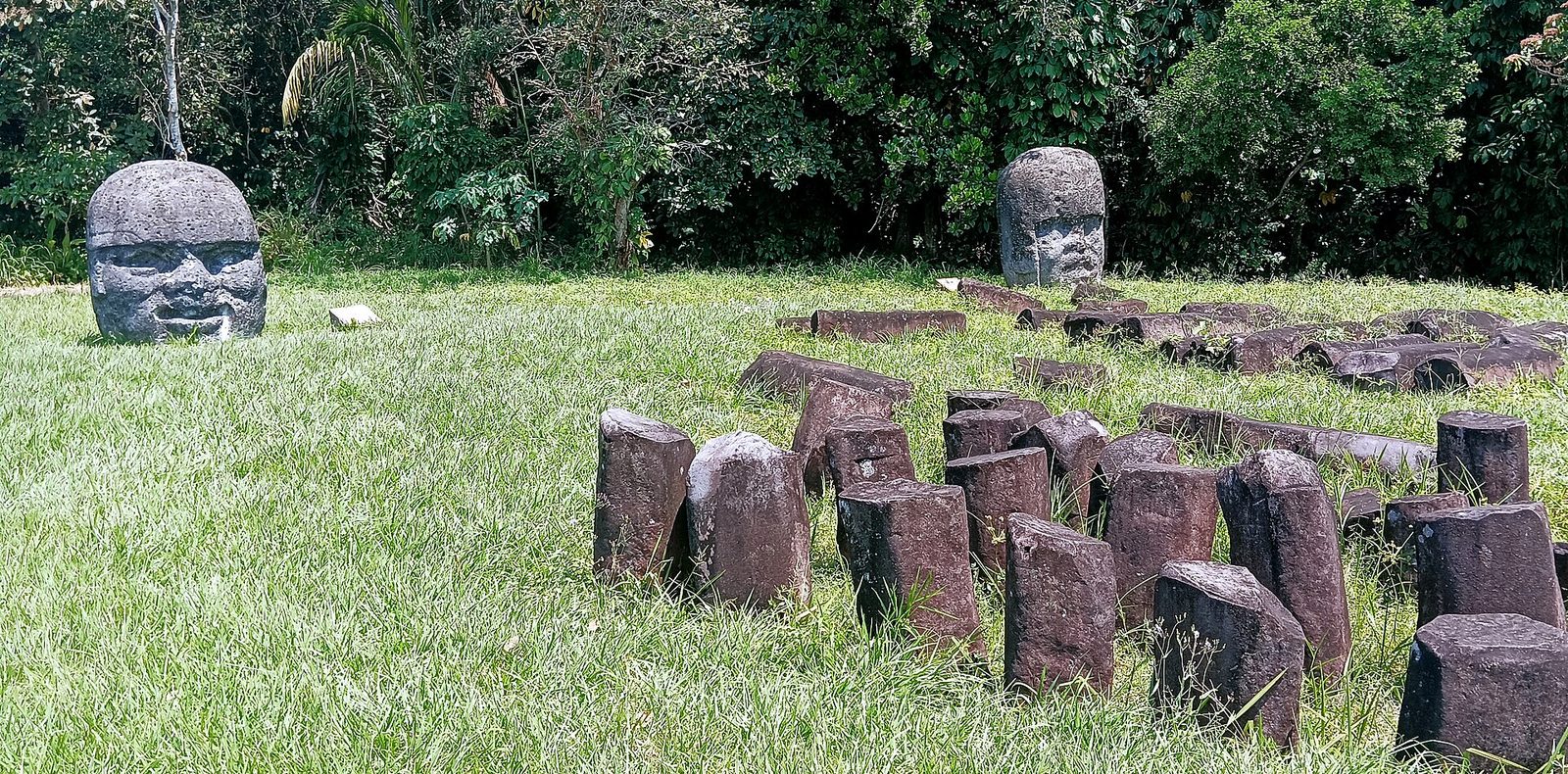
The Olmec: Fifty Tonnes, Eighty Kilometres, By Raft And Rope
Fifty tonnes of basalt, eighty kilometres, by raft and rope.
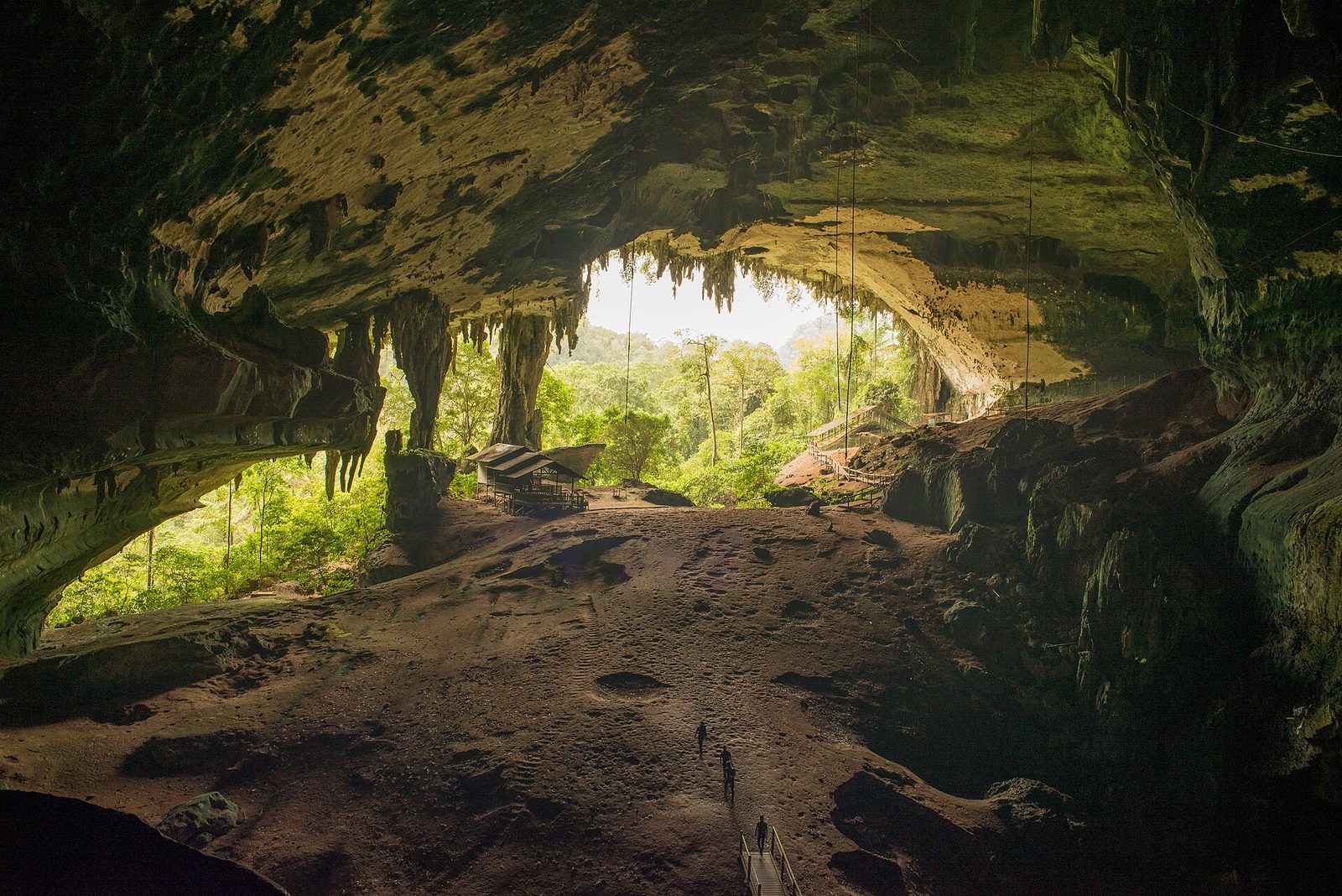
Sundaland: The Continent That Really Did Drown
A real drowned continent, a contested civilisation, and a confidence score that is simply wrong.
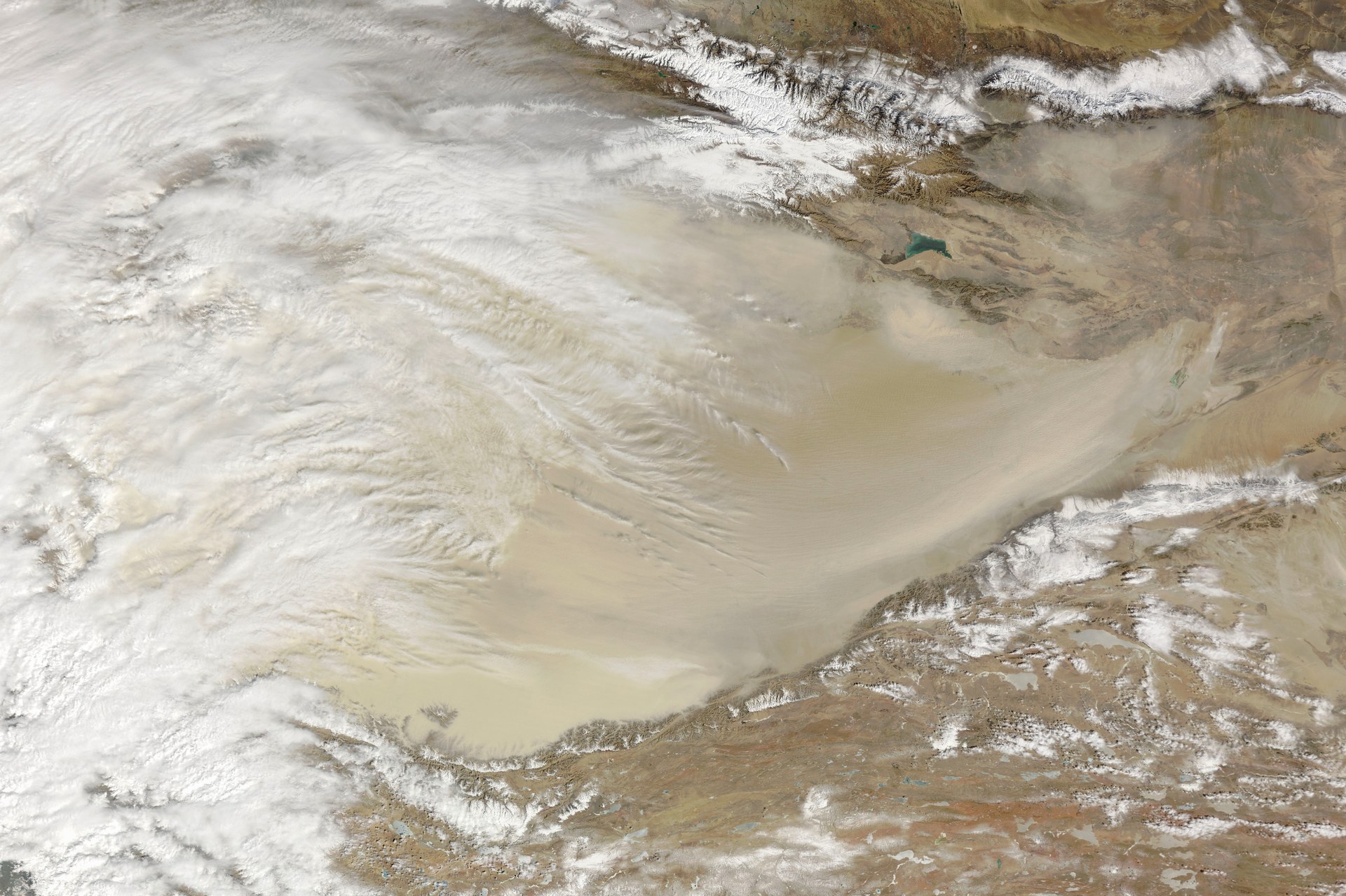
Local All Along
Fair-haired bodies in a Chinese desert, four thousand years old. For a century they were read as migrants from the west, and worse things than that. Then in 2021 thirteen genomes showed the Bronze Age Tarim population was locally derived and genetically isolated, not migrant at all. Here is what the evidence says, what our own source file gets backwards about it, and the civilisation everyone forgets.
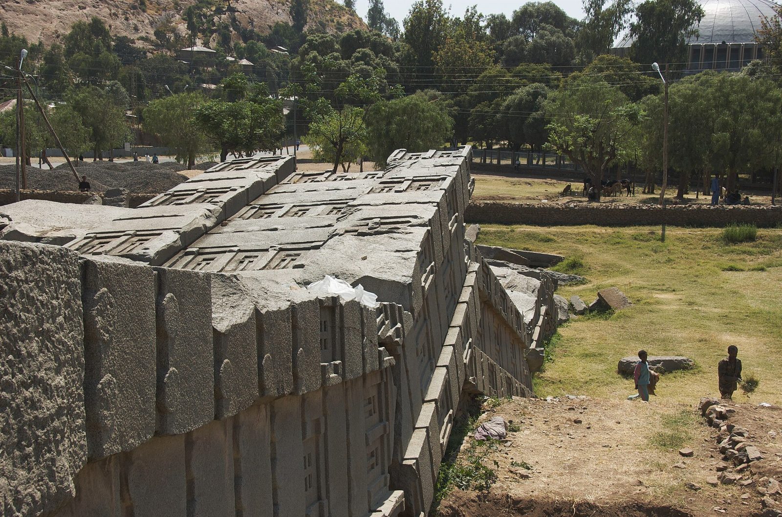
Aksum: The Climate Story Runs the Other Way
The largest stone ever raised in the ancient world lies broken in a field. The climate evidence explains the empire's rise, not its collapse.
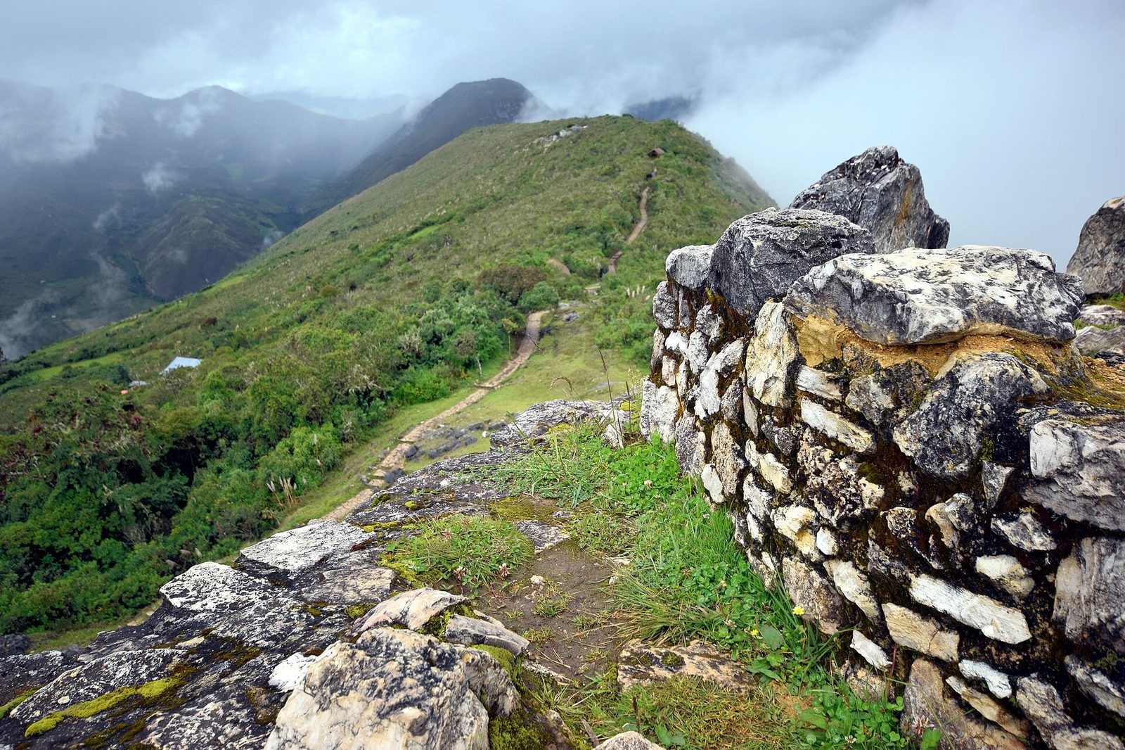
Chachapoya: What the Genomes Said About the Deportations
The histories say the Inca deported them across the empire. The genomes of the same valleys say a population that stayed put.
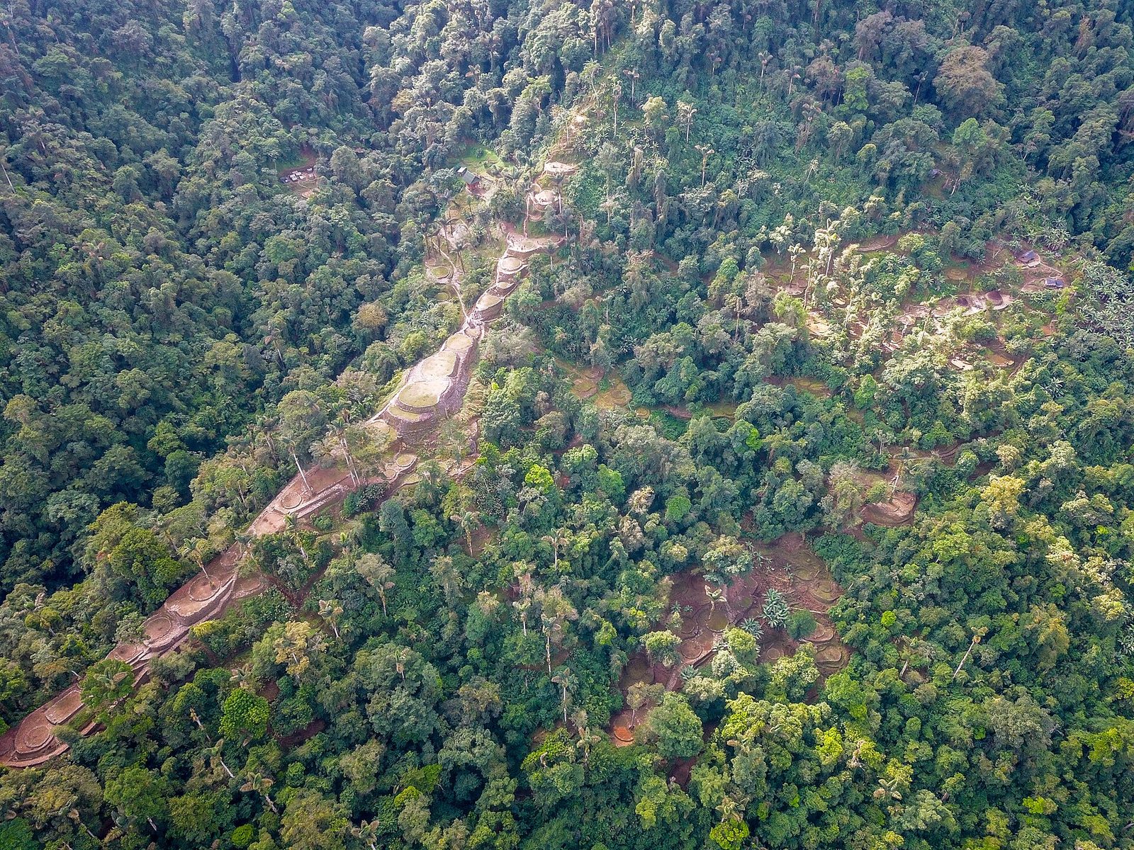
Ciudad Perdida: The City Found by Following a Staircase
Found in 1972 by looters following a staircase up a riverbed. The argument about who built it just stopped being theoretical.
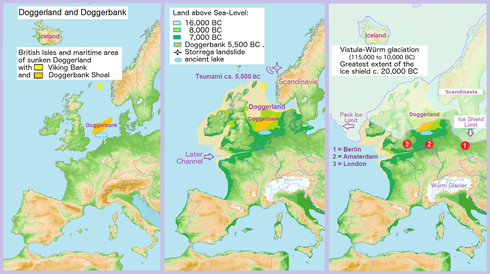
Doggerland: The Drowned Heart of Europe
A landscape with rivers and lakes lies under the North Sea. It was mapped using oil-industry data, and the catastrophe everyone tells about its end is now being questioned.
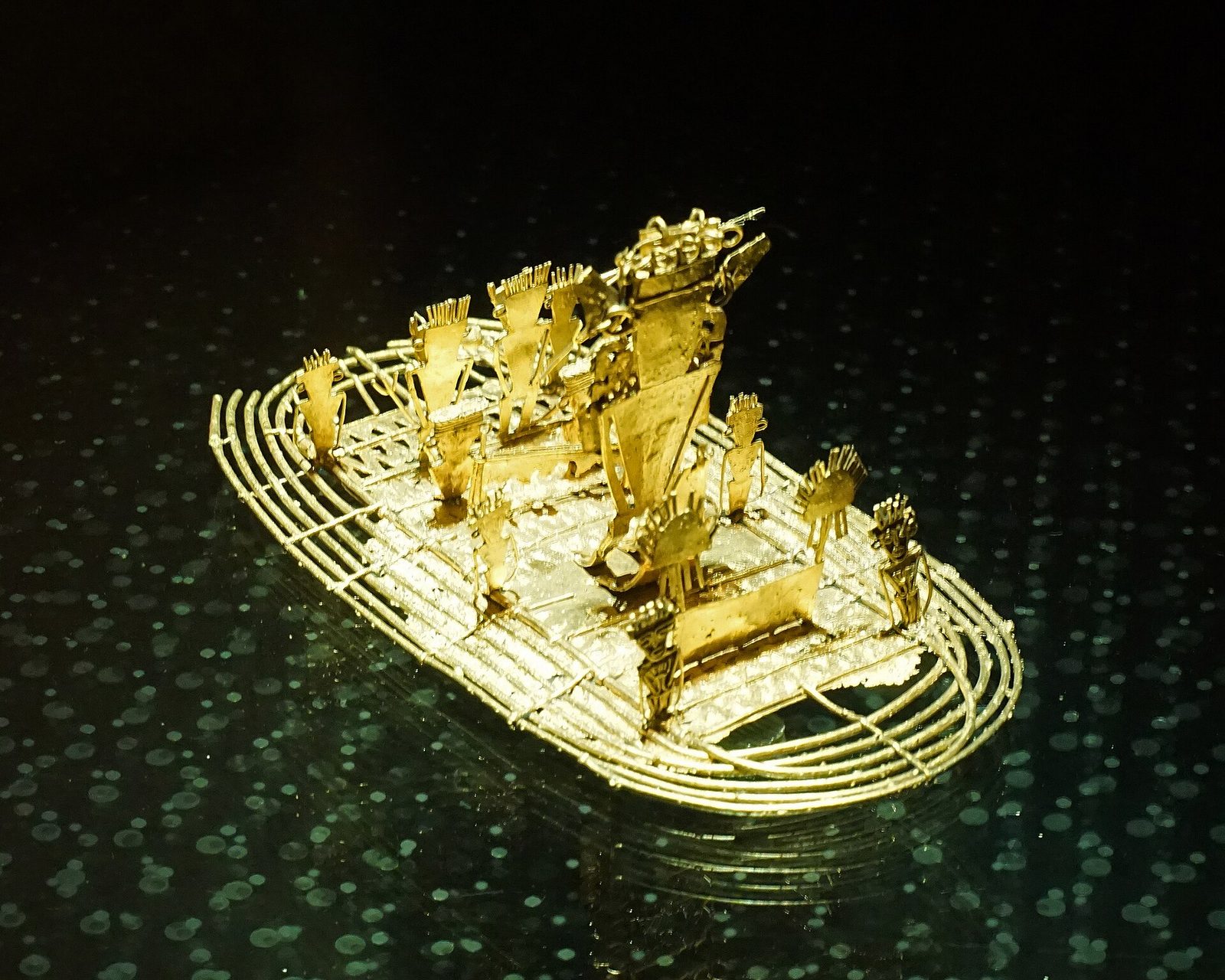
El Dorado and the Muisca: The Gilded King Was Real
El Dorado was never a city. It was a gilded man on a raft, and the people who put him there had no gold of their own; they mined salt and traded for it.
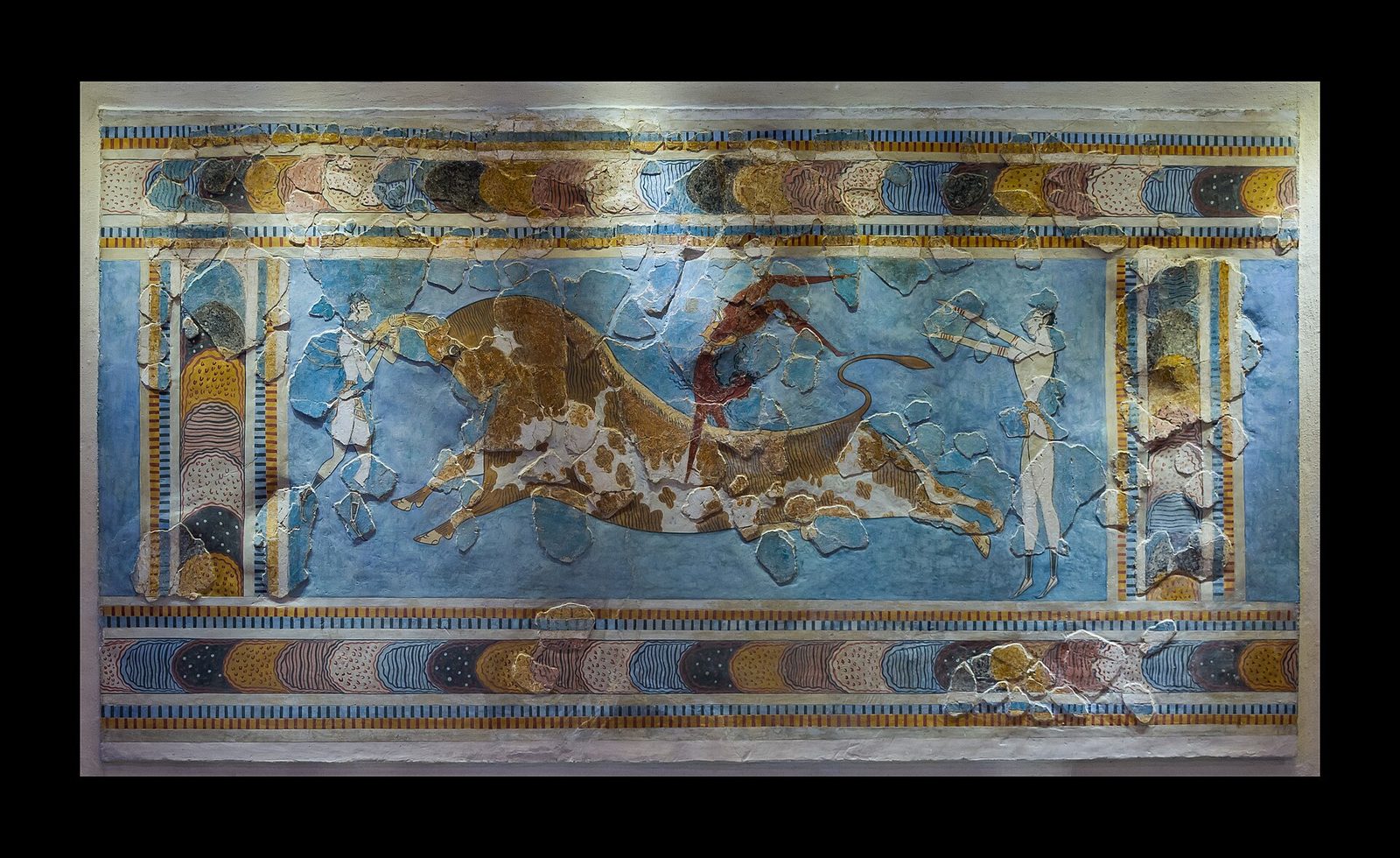
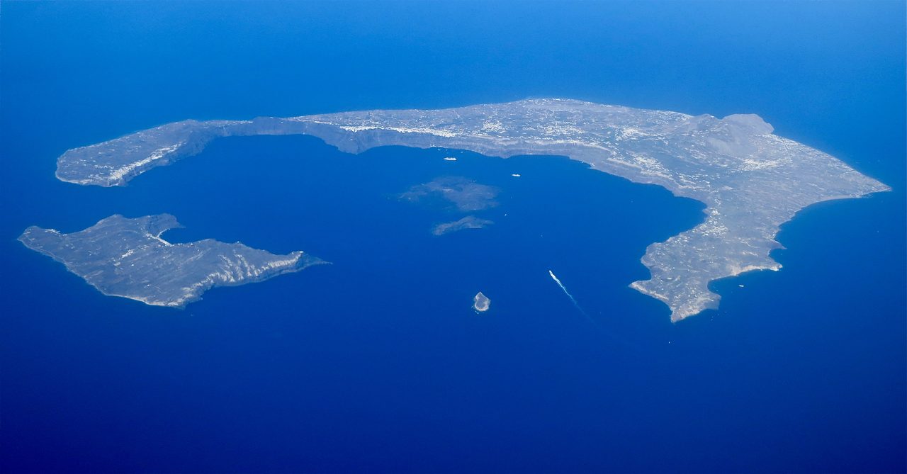
The Minoans: Europe's First Civilization, Lost to a Volcano
The name is an archaeologist's invention, the script has never been read, and the famous date for the eruption has just moved a century.
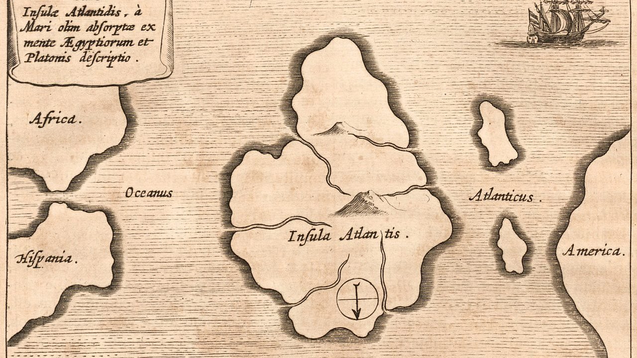
Atlantis: The Lost World That Started Them All
One unfinished dialogue, a date of 9,600 BCE, and 2,400 years of searching the Sahara, the Aegean, and the Atlantic floor. One candidate has been ruled out. None has been ruled in.
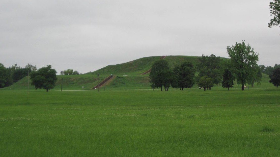
Cahokia: The Lost City on the Mississippi
The largest pre-Columbian earthwork north of Mexico, timber circles tracking the solstice, over 270 burials in one small mound, and no writing to say why the city emptied.
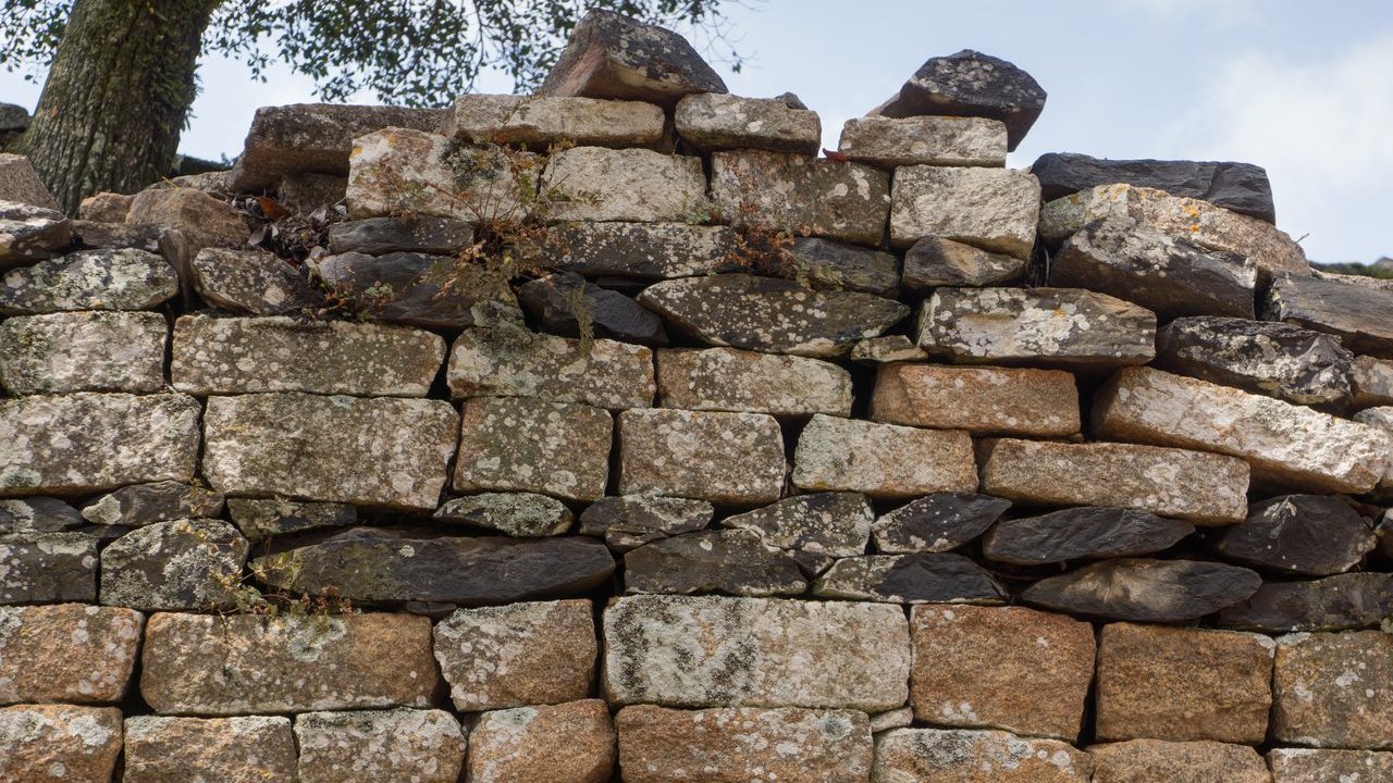
Great Zimbabwe: The Kingdom Europe Refused to Believe
Mortarless granite walls up to 36 feet high, eight soapstone birds, and more than a century spent insisting Africans could not have built it. The last bird came home in April 2026.
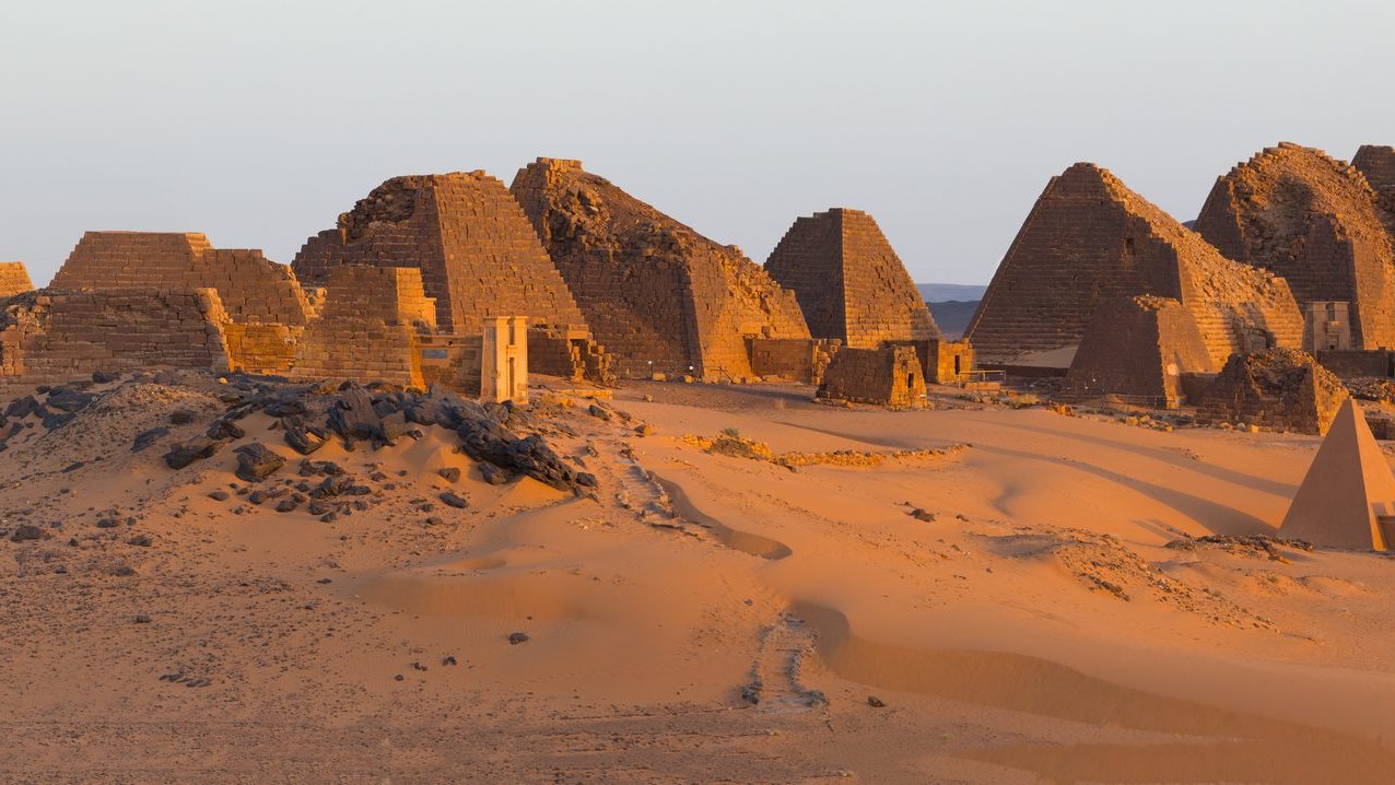
The Kingdom of Kush: More Pyramids Than Egypt
Kushite kings ruled Egypt for nearly a century as its 25th Dynasty, and the desert south of Egypt holds over 255 pyramids: more than twice Egypt's own count.
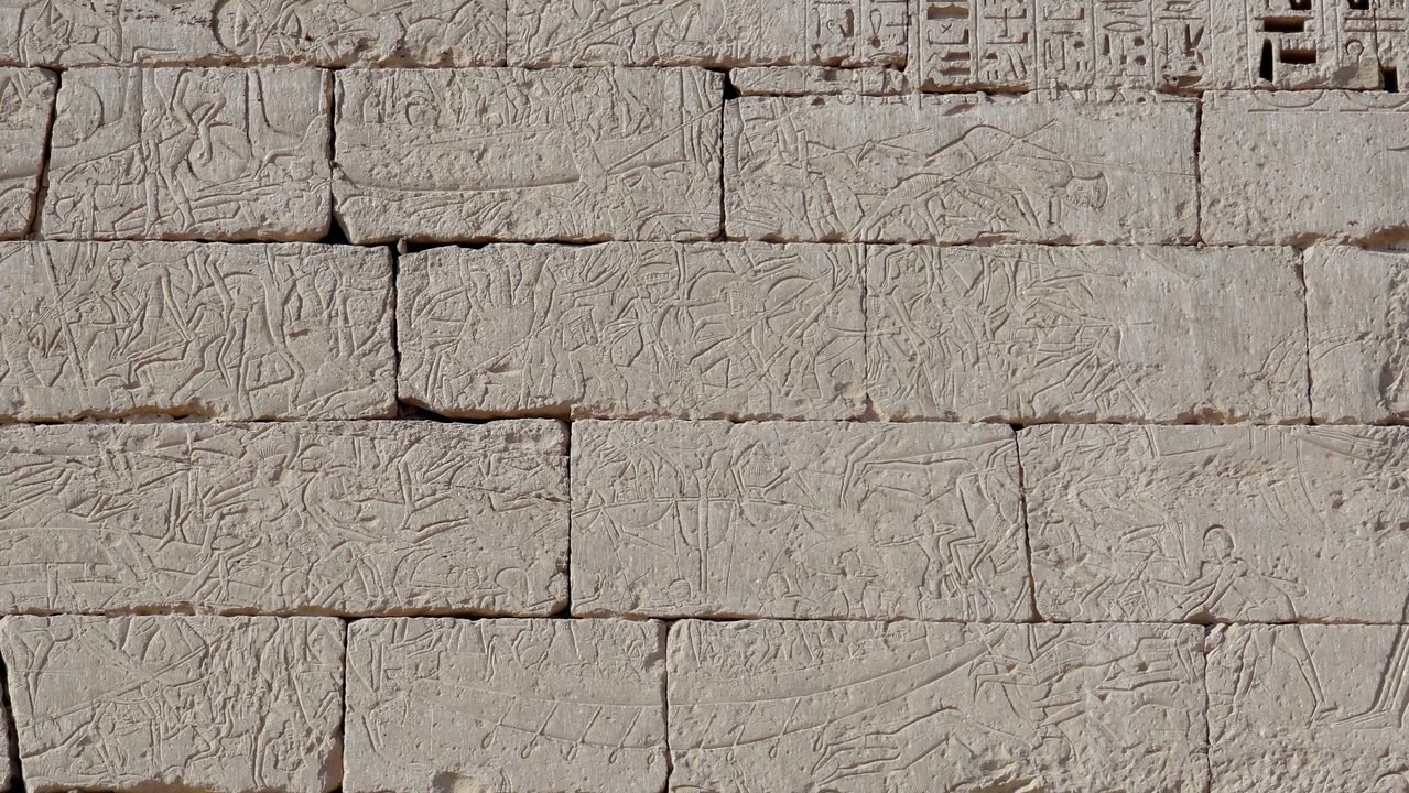
The Sea Peoples and the Fall of the Bronze Age
An entire interconnected world went dark inside about fifty years. Seven competing explanations, real evidence on every side, and still no consensus on why.